One place. Different tax boundaries.
A Hillsborough address does not necessarily mean a property is inside Town limits.
4,472Town property tax records
40.3% of combined appraisal
40.3% of combined appraisal
7,629Outside Town, Hillsborough address
59.7% of combined appraisal
59.7% of combined appraisal
12,101Combined property tax records
$6,587.7M appraised value
$6,587.7M appraised value
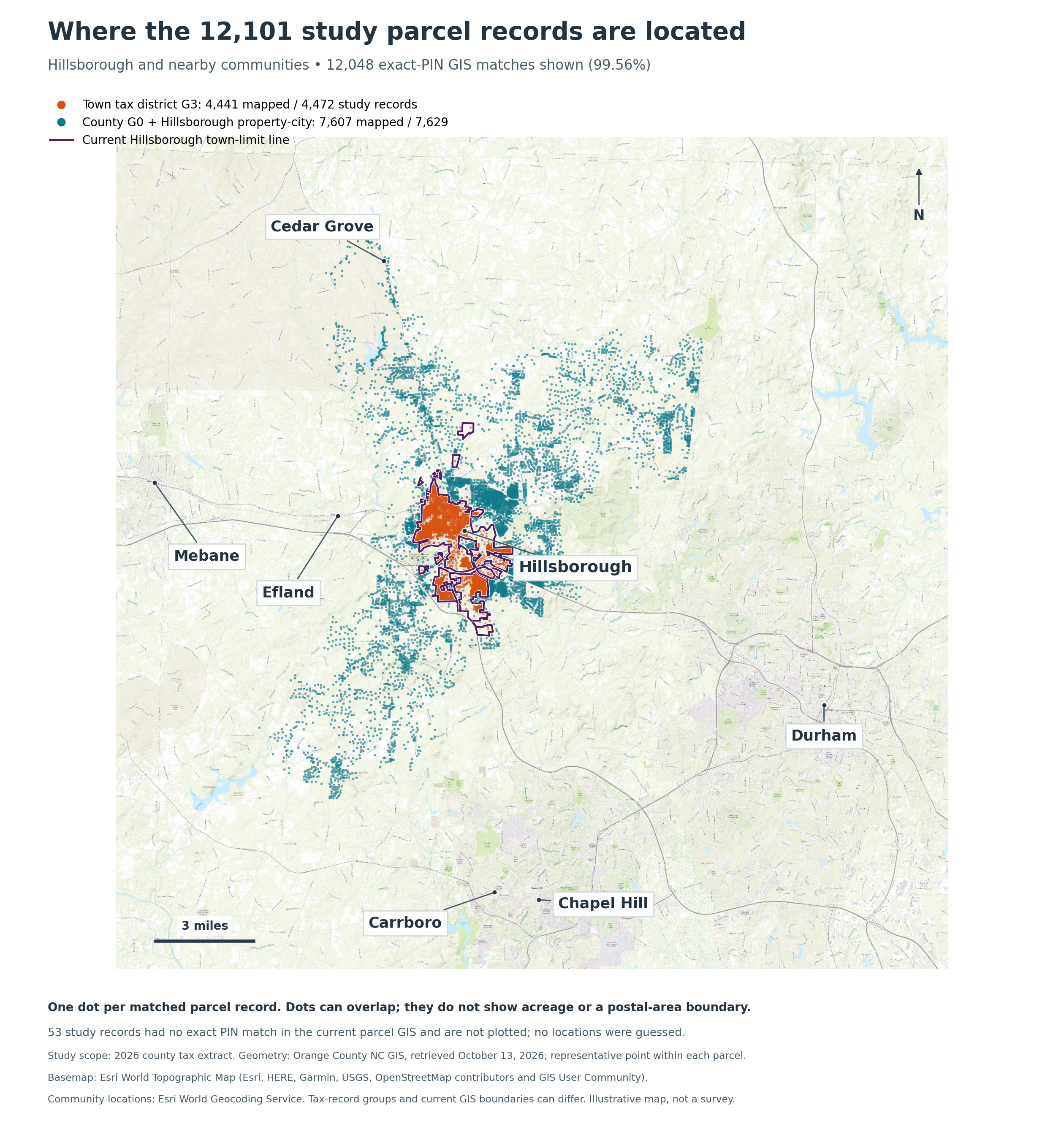
1 / Boundaries determine Town-tax applicability.Properties outside Town still pay applicable County and other taxes. Their absence from the Town tax base is not a Town exemption.
Town property tax records
4,124 with Town tax billed. 183 verified fully exempt; 5 utilities unresolved.
160 released-only records are also unresolved/other.
Town property tax billed: $11.1M. Billed amounts are not collections. See data notes →
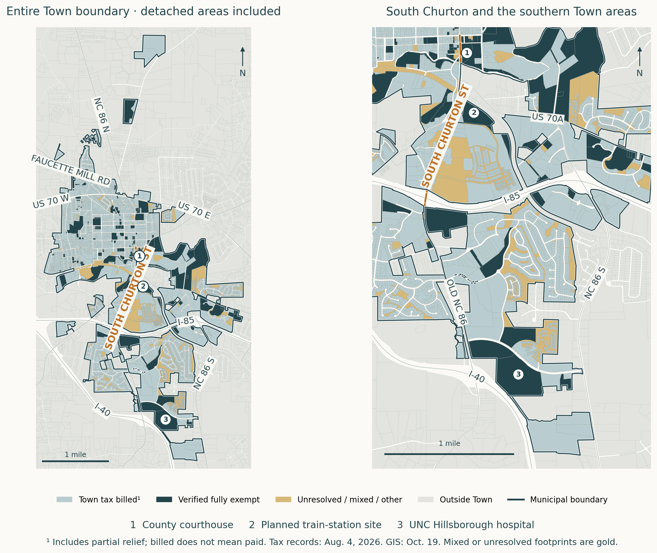
Who pays within the Town line.
Town tax billed in blue-gray. Verified fully exempt in dark teal. Unresolved or mixed footprints in gold.
Nearly a quarter of the downtown study’s value is fully exempt.
Town Ledger’s custom downtown study covers 805 property tax records. The 24.4% share applies to this study area only, not the whole Town or an official district.
$457.1MKnown appraised value
802 matched records
802 matched records
24.4%Fully exempt
$111.6M in appraised value
$111.6M in appraised value
20.3%Government / public
$92.8M in appraised value
$92.8M in appraised value
2 / Exemptions narrow the Town tax base.Government and public bodies hold most of downtown’s fully exempt property value.
3 / Land use affects future growth opportunities.Government-occupied sites along Churton and elsewhere are unavailable for commercial development while in that use. Future uses can change; public sites also provide public services.
Percentages use known appraised value. Three records remain unmatched. Coverage and data notes →